Wide Bay–Burnett Region
Placeholder page. More detailed content in preparation.
The Wide Bay–Burnett region, located between 170 and 400 kilometres north of Brisbane, is defined by an assortment of mountain ranges, with the Dawes Range (near Miriam Vale) as its northern border, the Dividing Range west of Monto and Kingaroy as its inland boundary, and the Cooyar and Brisbane Ranges separating it from Southeast Queensland.
Until 2008, the region contained twenty-three local government authorities, including Noosa, which was reassigned to South-East Queensland in the restructuring process that reduced the number of councils to five, along with Cherbourg Aboriginal Shire Council and the part of the Gladstone Region which lies south of the Dawes Range.
Within the encircling ranges, the catchments of the Mary, Burrum, Burnett, and Kolan Rivers and Baffle Creek drain into Harvey Bay. Wide Bay, named by James Cook on 18 May 1770, is a coastal indentation between Double Island Point and Fraser Island/K'gari, which provided access via the Great Sandy Strait to the region's first port, in Maryborough, edstsblished in 1847).
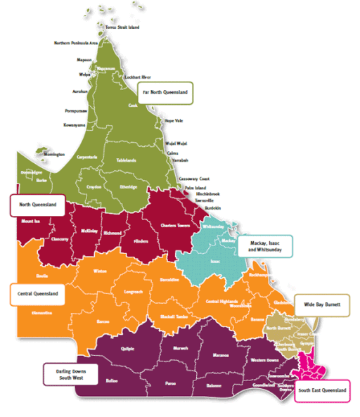
The Wide Bay–Burnett region consists of the following local government areas:
Bundaberg Region
Fraser Coast Region
Gympie Region
North Burnett Region
South Burnett Region
Aboriginal Shire of Cherbourg
Sources:
- Queensland Places: Wide Bay-Burnett
- Wikipedia: Wide Bay-Burnett