Fishery Falls
Located between Aloomba and Deerail on the Bruce Highway and the North Coast railway line in Yidinji Country, 16 kilometres southeast of Gordonvale, 32 kilometres south-southeast of Cairns and 40 kilometres north-northwest of Innisfail in the Cairns Region, Fishery Falls takes its name from a waterfall about a kilometre west of the locality on Fishery Creek — one of the Mulgrave River's tributaries.
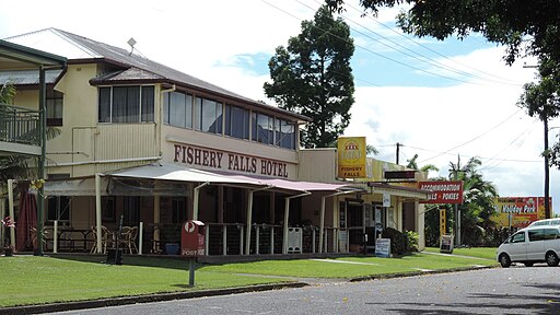
Flowing between the Bellenden Ker and Malbon Thompson Ranges, the Mulgrave River forms the eastern boundary of an area largely devoted to sugarcane cultivation, centred around an unofficial township — the Queensland Place Names website lists a locality, a watercourse and a (former) railway station under Fishery Falls — with a hotel, caravan park, and several streets of houses on the west side of the Bruce Highway. The nearest educational facility is McDonnell Creek State School, about two kilometres south of the township.
A cane tramway network delivers the area's sugarcane to the Mulgrave Central Mill in Gordonvale.
The township's South Sea Islander Memorial commemorates over 60,000 workers recruited — sometimes forcefully in circumstances that amounted to kidnapping — to work in North Queensland sugar plantations from 1863 to 1906.
